Calais to Arras- Keeping My Feet Under Me
7/20-28
238.8 km from Canterbury
Whew! I made it to Arras France! This leg of the trip has shown me some difficult times as I'm still getting used to walking with 40lbs every day.
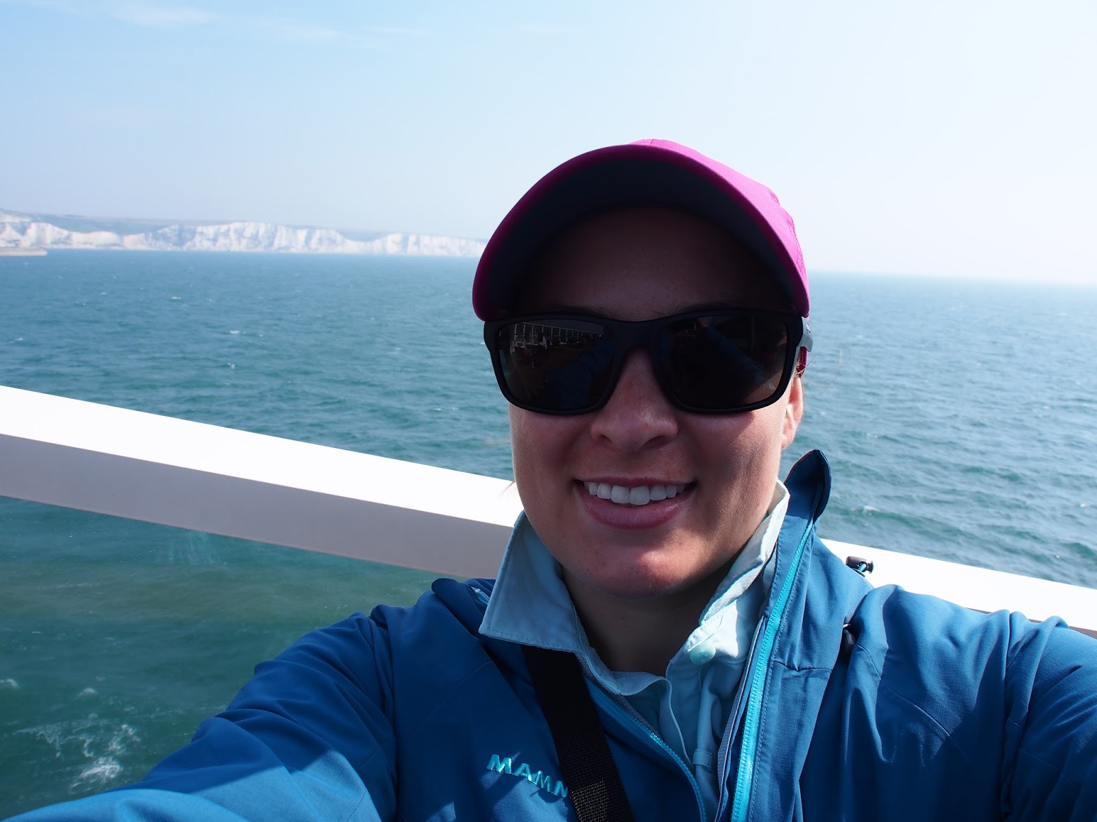
On Wednesday morning I woke early and walked along the white cliffs of Dover to the ferry docks.
Security was in full force as the attack in Nice had only happened a few days prior. The lines to get on the ferry for vehicles had to have been around 2 hours long! Luckily, as a walk-on, I was able to catch a bus with two others right onto the ferry and was able to establish my post on the rear deck before anyone else boarded.
 |
| The channel ferries |
 |
| Dover Castle |

The day before I was able to see dark smudges on the horizon of France from Dover Castle but today, even though there was hardly a cloud in the sky, I couldn't see the continent. This led me to believe that the channel is bigger than it actually is, a belief which was rectified the next day. Several seagulls accompanied us on our ferry, coasting in the draft of our boat, just enjoying the ride.
 |
| Entering the Channel |
 |
| The breezy back deck looking at the cliffs of Dover |
 |
| Entering the marina in Calais |
 |
| Very modern Calais |
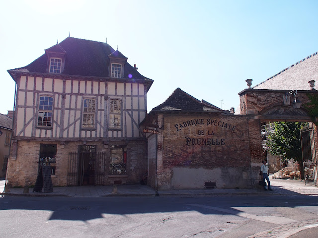
Though I had heard that the old town had been destroyed in the two wars, I still harbored an interest in the city after taking a Tudor history course with my adviser in college. The part of the town I did see was quite modern and catered to residents of the city and beachgoers.
 |
| Hundreds of little beach huts |
 |
| Before my excitement in the novelty of hiking on the beach waned |
 |
| WWII bunkers |

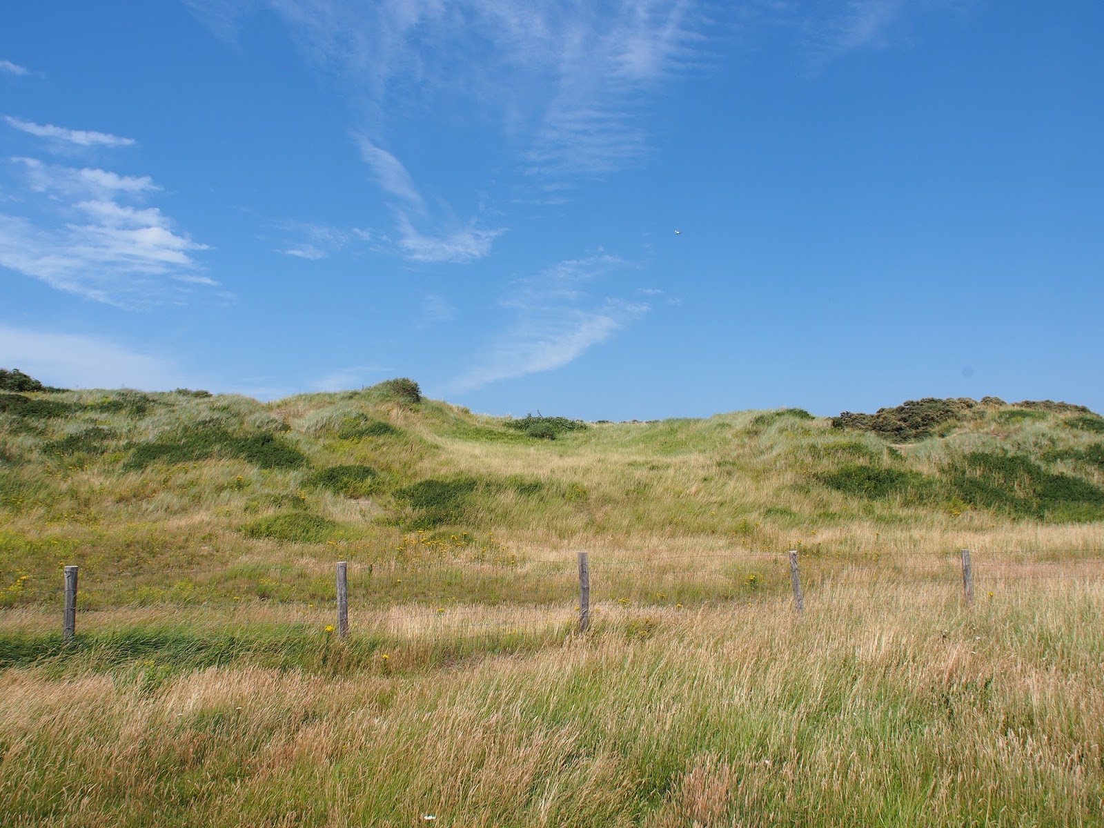
After walking on the beach for a while, I entered grassy dunes. The dunes ended up being not much better for walking, but finally, after several kilometers, I entered a town called Sangatte and started climbing inland uphill.
 |
| Path entering the dunes |
 |
| Leaving Sangatte and turning inland |
 |
| Looking back towards the Channel and Sangatte |
 |
| Hey look, there's England! |
 |
| Very clear |
 |
| Dover Patrol Monument |
 |
| I swear this hill was doubly brutal than it looks |
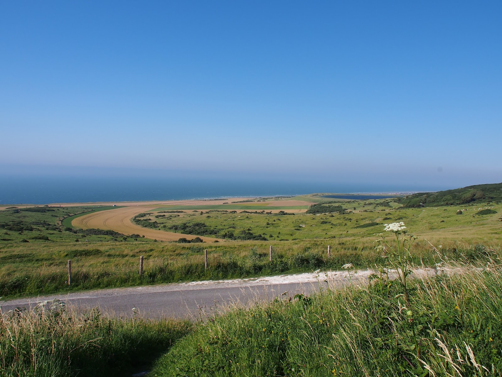
The cliffs I walked beneath were stunning, and I could still see the white cliffs of Dover. From Wissant, I began to trek inland.
 |
| Much easier to walk on!! |
 |
| Signs like these excite and distress me- "wait, but only 2080 kms..." |
 |
| Beautiful field of poppies looking over the Channel |
 |
| Tiny French towns |
 |
| The view towards the ocean, a taller person would see even more :) |
 |
| One of the stairwells leading down |


 |
| A date on the stairwell |

 |
| Very typical scenery during the day |
 |
| French fairytale house |
 |
| French people take their cats everywhere! Camping, for walks, to restaurants! |
 |
| Cute little campsite overlooking the town |

 |
| Beautiful sunset that night |
 |
| An abandoned windmill |
 |
| All the churches in these small French town were stout Romanesque buildings |
 |
| Another exciting sign- I'm pretty sure these distances were as the crow flies |
 |
| Hey look! There it is!!! |
The nuns were incredibly sweet, and even though we couldn't understand each other very well we all managed to communicate-- Although I do have to say it was nice talking with some fellow English speakers even if it was just for a night!
 |
| A fuzzy friend– Oh god let me love you! |
 |
| Abbey of Notre Dame in Wisques |

At noon I arrived in Thérouanne. This rather small city now used to be home to the largest bishopric in France. It had a history as a capital city in Gaul and in Rome. Thérouanne's history would forever be changed in 1553 when King Charles V of Spain conquered the city and razed it to the ground. The town never recovered and remains quite a small city today. As I was walking in, there was a little sign about an archaeological site. I followed it curiously because I had been told that literally, nothing remained after Charles besieged the town. I walked up to where the old cathedral had been before 1553. Never has such a small amount of view-able history fascinated me so much. It was the complete lack of artifacts that I found so interesting!
 |
| Map of the city in 1539 |
 |
| Map of the city now- the whole old city is still empty! |
 |
| "Vestiges"... |
 |
| Less distinct "vestiges" of the cathedral |

When I arrived in Bruay, I couldn't find any place with wifi to find a way to Arras, and I was in dire need of a bathroom. My feet were dying, and I just needed to find a way to Arras. Finally, the stress of it all became too much, and I found myself sitting in a park having a much-needed cry. Afterward, I felt better and managed to find a bar with wifi. There, a very helpful man named Henry helped me figure out a way to Arras, he even called several hotels looking for accommodation for me and paid for my cappuccino (this time a latte)! I had somehow managed to make friends with Henry, the barkeeper, and a fellow customer and once I had everything figured out I was escorted to the bus station with an armed guard determined to help me get to Arras!
I arrived in Arras and decided to stay two days to explore and recuperate. I had a much-needed phone call home and a much-needed shower!
 |
| and a delicious Belgian waffle... |
 |
| So many temptations!! |
 |
| It was market day in the Place des Heroes |
 |
| Summer beach festival |
The reason for Arras' similarity to Belgium is because, throughout its history, Arras has been on the border between the two nations and has been part of each one before it officially became French.

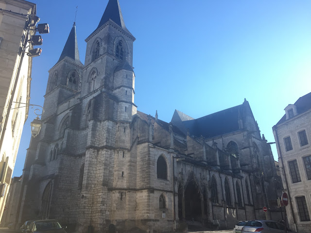
First I visited the Cathedral Norte-Dame-et-Saint-Vaast. It is Neoclassical in style and reminds me more of a Roman temple than a Church. It is large, statuesque and powerful. The cathedral was heavily bombed in WWI and WWII, and you can still see some war damage in some of the stones.

 |
| Very light interior |
 |
| A map with the different pilgrimage routes through Europe |
 |
| View from belfry overlooking the cathedral |
 |
| Place des Héros |
 |
| Grand Place |
 |
| Giant traditional carnival people- you can see the face hole for the performers! |
Afterward, I took a guided tour down into the Boves underneath Place des Héros. The Boves were initially limestone quarries that were used in medieval times for building materials. These quarries had an extensive network underneath Arras, and after they were retired, they were used as storage space for the merchants of the city.
 |
| The entrance into the Boves |


 |
| The guide told us not to get lost! |
 |
| Pictures of WWI |
 |
| A 13th century staircase... we weren't allowed up |
During WWI, Arras was on the front lines of defense for the whole war. The entire city was destroyed and has been rebuilt.
 |
| Cathedral after WWI |
 |
| Place des Heroes after WWI |
 |
| Place des Heroes now |
 |
| The townhall and belfry after WWI |
 |
| Townhall and the belfry now |

When I visited the Wellington Quarry, they had an amazing and eye-opening video showing the soldiers in the Battle of Arras.
Down in the quarry they had a live immersive experience, we even got to wear helmets!
 |
| Ready to go underground |
The museum showed lots of photos and belongings of the Commonwealth soldiers, and it was quite a weighty experience-- The soldiers were so young and inexperienced, and most of them died.
 |
| A WWI commonwealth soldier's kit |
 |
| They are all so young |
 |
| The decimation of Arras in WWI |
 |
| Our guide kept a very close eye on us so none of us could get lost! |
 |
| French civilians called the bathrooms W.C. |
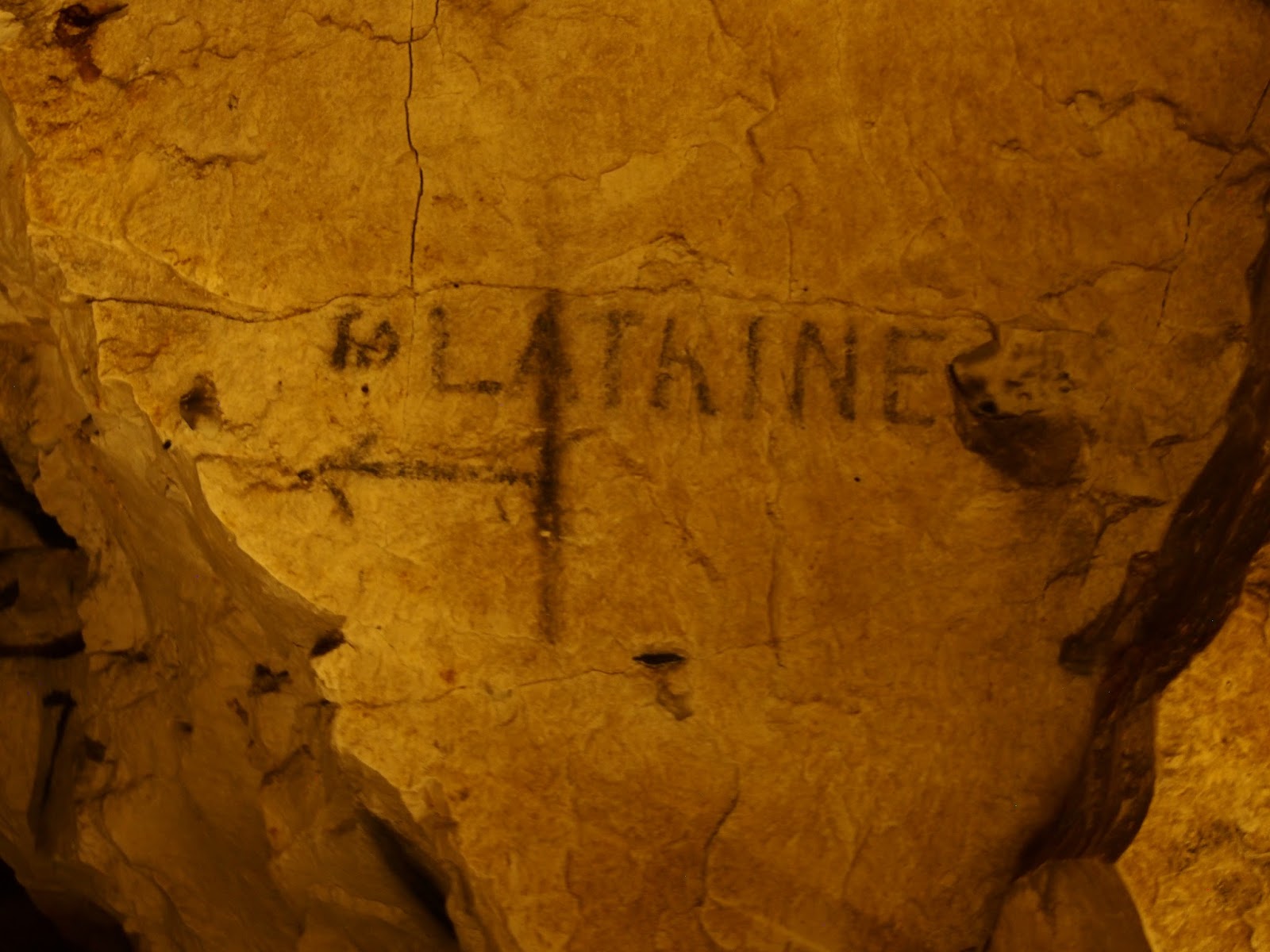 |
| Commonwealth soldiers called the bathrooms latrines |
 |
| Sometimes they were covering and contradicting each other |
 |
| Arras was the "bulge" in the front that Germany could not break |
 |
| There were films with diary entries and pictures of soldiers |
 |
| People's signatures and graffiti on the walls |
 |
| The "chapel" that was used for the soldiers and then the people of Arras |
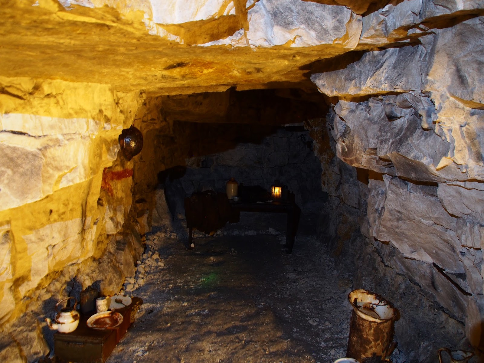 |
| Officer's quarters |
 |
| Pencil drawing of a man with a mustache |
 |
| More pencil drawings, a woman's face and an Australian soldier |
 |
| A mammoth... haha silly neanderthals |
 |
| Tunnel to Auckland quarry |
 |
| What the soldiers bunks would have been like |
 |
| The entry into No Man's Land |
The last place I visited the museum of fine arts which had a few pieces I rather enjoyed.
 |
| A fantastically grisly and horrific tombstone |
 |
| I love old maps |
 |
| ... and models |

 |
| The assassination of Caesar... but my favorite part... |
 |
| I think we can all understand this face! It's fantastic! |
 |
| Very realistic tombstone |
One of my favorite painters, Pieter Bruegel the Elder, had done this winter country scene. The things I love about his paintings are the details and portrayals of real life. The was done in the mid 16th century, and you can see the ruins of a castle in the background as well as a snowball fight and people carrying hay. It is a little slice of Renaissance Flemish life.
 | |||||
 |
| Ruins of an abandoned castle |
 |
| I think these are snow shovels they're using as sleds! hehehe |
 |
| What is a winter scene without an epic snowball battle? |


I am feeling much more rested and ready to head off on my next leg. Tomorrow I leave for my next leg of the trip I will update you all in Laon!


Fantastic history Devon! It is really incredible seeing the devestation or the wars and the affect on individual cities/towns in Europe. I remember well the much needed phone call to home and love to see the sites you were able to enjoy . Also so glad you decided to stop and enjoy the areas you were traveling through. Something that many of us may never be able to do. Love, Mom
ReplyDeleteHaha yes that phone call seems so long ago now! Since then I have become much happier and more comfortable with this journey and the sites are always an added bonus. About to visit a castle here in Italy in half an hour!! :D
ReplyDelete